A Digital Elevation Model, commonly referred to as a DEM is a digital representation of the height of the bare earth. Amongst other things, it can be used as the starting point for creating contour maps.
The state of NSW (Australia) is well served with Digital Elevation Models (DEMs). The entire state has coverage of at least 5m resolution, with most of the eastern ranges having 2m, and the east coast having 1m resolution.
Downloading the data is fairly straightforward, using the Australian Government's ELVIS service.
Downloading NSW DEMs from ELVIS
- Head to ELVIS and zoom in on your area of interest eg Katoomba.
- Select Order Data on the top right, and then Draw
- Click on the top left and bottom right corners of the area for which you want to download data, and click Search
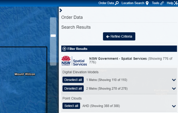
- Once the search returns, click Select All for the Digital Elevation Models under NSW Government - Spatial Services
- Fill in the details down the bottom and then click Order
You will get an email shortly with instructions of how to download your data.
The data now comes as zipped .TIF files. Extract the .TIF files to a folder, and then you can drag them into QGIS.

