
QField
The best mobile app for viewing maps created in QGIS that I have found is QField.
QField allows viewing of .QGZ project files saved in QGIS on mobile devices.
QField comes in both Android and iOS versions.
Simply save the .QGZ/.QGS file, along with any related data files in a directory on your phone. I save all my data as layers in a single Geopackage file. I then use AirDroid to transfer files from desktop to phone. Note that in recent versions of Android (11+), security changes mean that there is an extra step required in QField to copy the files from the user-accessible folder to an app-accessible folder.
Then open the file in QField, and you can zoom in, out and around.
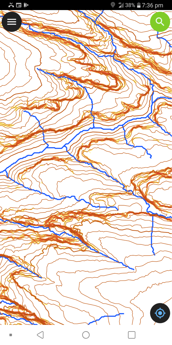
For a sample file with contours and streams, download the file below, and extract to a folder. The individual files can be copied to a directory on the phone and opened with QField
- pantoneys.zip (3.5MB)